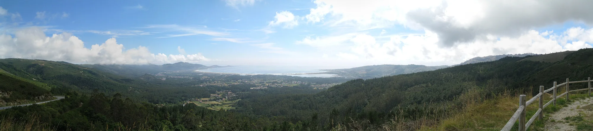
Carnota Beach
Seven kilometres of sand, dunes, marsh and intertidal flats. Choose one access point rather than trying to cover the entire beach. Boca do Río is especially tide-dependent.
Beach, Lira, Monte Pindo and viewpoints turn a thirty-minute visit into a half-day or full-day journey.
Sand, channels and possible crossings change. Check the tide before a long walk and do not cross moving water to save time.
Seven kilometres of sand, dunes, marsh and intertidal flats. Choose one access point rather than trying to cover the entire beach. Boca do Río is especially tide-dependent.
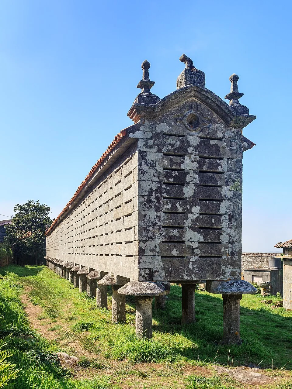
Built between 1779 and 1814, it measures 36.53 metres long and 1.60 wide. Its stone platform adapts to the slope and provides the most useful comparison with Carnota.
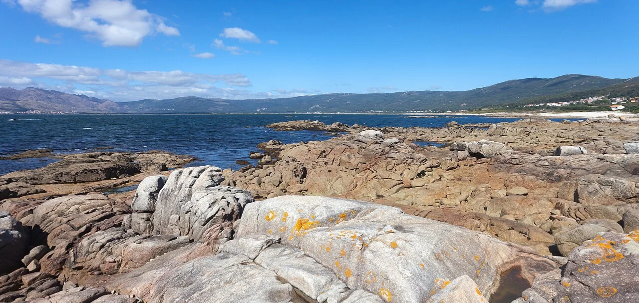
A small harbour that brings the contemporary relationship between Lira, fishing, the marine reserve and the Costa da Morte horizon into view.
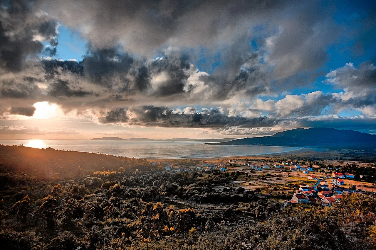
A calm alternative to a long hike: the viewpoint brings beach, Caldebarcos marsh and Monte Pindo into one composition.
The summit reaches 627 metres. The route needs time, navigation and suitable conditions; Galicia Tourism advises allowing around two hours for the ascent and particular care on descent.
The Xallas River and its waterfall near the sea extend the natural route. Flow and water management can change the experience, so avoid expecting one fixed appearance.
Have half a day? Combine Santa Comba, lunch in Carnota and one beach access. Have a full day? Add Lira and Louredo or Ézaro.
Open the route planner